Find an office location
More than 175 offices from coast to coast.

Planning, design, operating, and managing the integrity of pipelines is a complicated process. When you throw the wide variety of challenges arising from traversing differing terrain and geologic conditions into the mix, it’s time to call in the experts.
Historically, pipeline integrity management has been dominated by the hunt for and elimination of corrosion with considerable inspection, testing, and maintenance resources dedicated to this issue. Geohazards have flown under the radar due in part to perceived low frequency of occurrence, complicated variety, and because operators and regulators have been unsure how to efficiently predict and prevent them. While the frequency may be low, the consequences and therefore, risks are generally higher for geohazards.
As this critical infrastructure ages, its strain capacity may diminish due to corrosion and cracking. With worldwide expansion of pipelines within difficult terrain, along with the unpredictable variables created by climate change, the potential exists for failure rates to significantly increase. Proactive intervention has become essential.
Geohazard considerations have become more standard in Gas Transmission Integrity Management Programs (IMP) within the past 5 to 10 years. Regulators now require that the Transmission IMP address geohazards under weather and outside forces. But the regulations are not detailed, and operators are highly variable in how they address this threat to pipeline integrity.
Geohazards are natural processes of a geologic, geomorphologic, or hydrogeologic nature that vary regionally based on terrain.
| Regional Terrain | Common Geohazards |
| Glaciated
Fluvial Permafrost Peatlands and Organic Coastal Karst Mountain Volcanic Desert |
Geotechnical
Landslides, slope creep, karst, subsidence, mining
Hydrotechnical Vertical scour, lateral scour, channel migration, flooding
Erosional Headcuts, downcutting, ROW backfill, erodible soils
Seismic Faults, liquefaction, lateral spreading, tsunami |
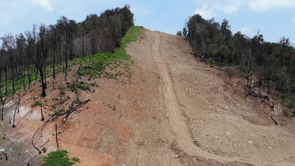
Determining what hazards are present on a job site can take several forms, including visually through field or aerial surveys, remote sensing information, lidar or photogrammetric surveys, analysis of in-line inspection data. Looking at what’s visible above ground can point to a number of potential hazards. The Terracon team answered the call when a gas pipeline operator was in need of immediate assistance with a pipeline that had ruptured. The operator suspected ground movement, after an 80-mile, walking survey of the pipeline, our team was able to confirm ground movement, and helped identify other threats along the pipeline alignment.
Once identified, a non-intrusive, baseline, screening level assessment should seek to determine general level of threat, likelihood of failure, and pipeline vulnerability. This should form the basis for planning next phases of response. If the threat warrants site specific characterization, the importance of subsurface exploration and laboratory testing cannot be underestimated. Before meaningful modeling and analysis can be performed, we must first gather adequate topographic and geotechnical control.
Using GIS software for data curation, Terracon has activated vast archive geotechnical data for useful access and compiled variable public datasets. Combined with proprietary GIS geo-processing, Terracon has generated susceptibility mapping for preliminary evaluation which allow us to help our clients. Our network of geo-professionals possesses valuable local knowledge in differing geologic conditions across the nation. By leveraging our resources, we can expertly gain an expectation of geotechnical conditions before we get on-site. Thereby efficiently planning resources to identify, assess, and mitigate threats and giving our clients an edge when it comes to completing their projects through informed pre-planning and design, safe construction, and effective post-construction integrity monitoring.
Benjamin Taylor, P.E., serves as the office manager and department manager for geotechnical services in Terracon's Louisville, Ky., office. Over the past 10 years, he has worked with oil and gas operators in support of pipeline integrity management through geohazard threat identification, assessment, and mitigation.
More than 175 offices from coast to coast.